Some information on the route can be found on the LLRWMO web
site (http://www.llrwmo.org/?page_id=188).
October 1st we began our 12 day work detail on
the Great Bear River, we were heading into an unknown camp in an unknown (to
us, but used extensively by the locals for traditional land uses, hunting,
fishing, gathering and teaching the young about living on the land) area on Great
Bear River. While that’s not totally true, we did know the area on Great Bear
River where the camp was supposed to be located (we figured it was going to be
near the airstrip, or at Bennett’s Landing, but were we wrong) however we had not been able to contact the camp provider (he
was out hunting, as was the alternate contact we had) to get any details on the
camp, the boat, wildlife monitors etc.. so we were going in with the
understanding that if we are not met at the airstrip by somebody, we would be
leaving (we would give them a couple of hours leeway, of course)and returning
to Yellowknife or to Deliné, whichever
the case would be.. As we had no idea what to expect we were taking some of our
own camp luxuries: toilet piper, a port-o-let (that a small portable toilet,
basically a bucket with a plastic bag), tents, extra tarps (because in the last
communication we did receive from the camp provider, he requested that we bring
tarps, lots of them and some food!!!) and of course some boil in a bag food.
The flight in was uneventful and the landing was as smooth
as you can expect considering we were landing on tundra tries and most of the
airstrip was covered in four foot willows. Much to our surprise, there was
nobody there to meet us, so we waited and waited, discussed walking to the
river and looking for the camp and waited some more. Three hours later we
boarded the twin and took off for Deliné. Not 10 minutes into the flight we
spotted our two wildlife monitors on ATV’s heading to the airstrip and only
about 20 minutes out, so we turned the twin around, landed at the airstrip
again and waited, and waited some more, when they arrived we loaded all the
equipment that could not be left on the airstrip (the sensitive electronics)
into two trailers (one with a flat tire) as well as our personal gear and all
the tarps and headed to the river where the jet boat was to meet us (the second
place we thought the camp would be). . . where we waited…and waited, until the
jet boat arrived. From there to was a twenty minute ride down the rapids to the
camp where we arrived just as the sun was setting and to a hot cup-o-coffee.
The camp was a soft camp (meaning it was a tent camp) we
slept in Woods wall tents on spruce boughs, with a wood stove for heating (I
forgot to mention that the temperature did not go above -3oC the
entire time we were there with a lows of -10oC at night). I thank
God, the angles and all the saints but mostly Woods for making -40oC
sleeping bags. I had great sleeps the entire time I was there (way better than
a hotel bed, I was as warm and comfortable as a bug in a rug) however waking up
in a frost covered sleeping bag and having to get out of bed and get the fire
going, was a real treat.
We had an amazing cook from Tulita who did all the cooking
on Coleman and wood stoves to feed our crew of four as well as the five crew
who operated the camp, the jet boat and
guided/wildlife monitored for us. All this work she did a half plywood, half
tarp kitchen with the minimalist of equipment. She even taught the driller and
me how to cook a proper bannock (over much laughing at our skills in making
dough). We did manage to get some fishing in on the Great Bear River for grayling
and dolly varden trout (or
Salvelinus malma which is a species of salmonid
native to cold-water tributaries of North America. It is in the family of true
chars, which includes: the most prominent being the brook,
lake
and bull trout,
as well as arctic char. How’s that for an explanation,
most of that was taken from “From Wikipedia, the free encyclopedia”) which we were only to happily
ate for dinner to supplement our meager (as in only enough food to allow for
seconds and even thirds if you had the room) diet of moose, beef and potato,
and bannock.
The work we were conducting was drilling and soil sampling along
the northern transportation route portage. We were working in very specific
areas along the GBR route, for the driller and me that area was limited to the
Bennett camp, airstrip, barge landings and a few locations along the portage
route, somewhere in the middle between Deliné and Tulita, however for our gamma
survey crew, they had to cover the same areas we worked and travel the route
back to Great Bear Lake, which for them meant an overnight stay the our
wildlife monitors cabin situated on one of the tributary rivers (that’s a whole
other story, and not mine to tell). Except
for the work part, which was long days of lifting and carrying equipment, and
drilling, the experience was great, traveling daily in a jet boat up and down
rapids to get to work sure beats Richmond Hill traffic and the fishing (which
only took place after the days’ work was done) was awesome, grayling on almost
every cast.
Some Photos:
Some Photos:

The flight in, that's Great Bear River and the road that is visible is part of the NTR.

That's our driller and the gamma surveyor lead with our equipment that cannot be left alone on the airstrip, under the white tarp is all the drilling equipment.

Our kitchen/dining and office building, per tarps.

Home sweet Home. a Woods wall tent.

Just enough room for three and a wood stove.

Great Bear River with a morning fog rolling in over the mountain.

one of the areas that we were working in.

The garage transformed into a church.

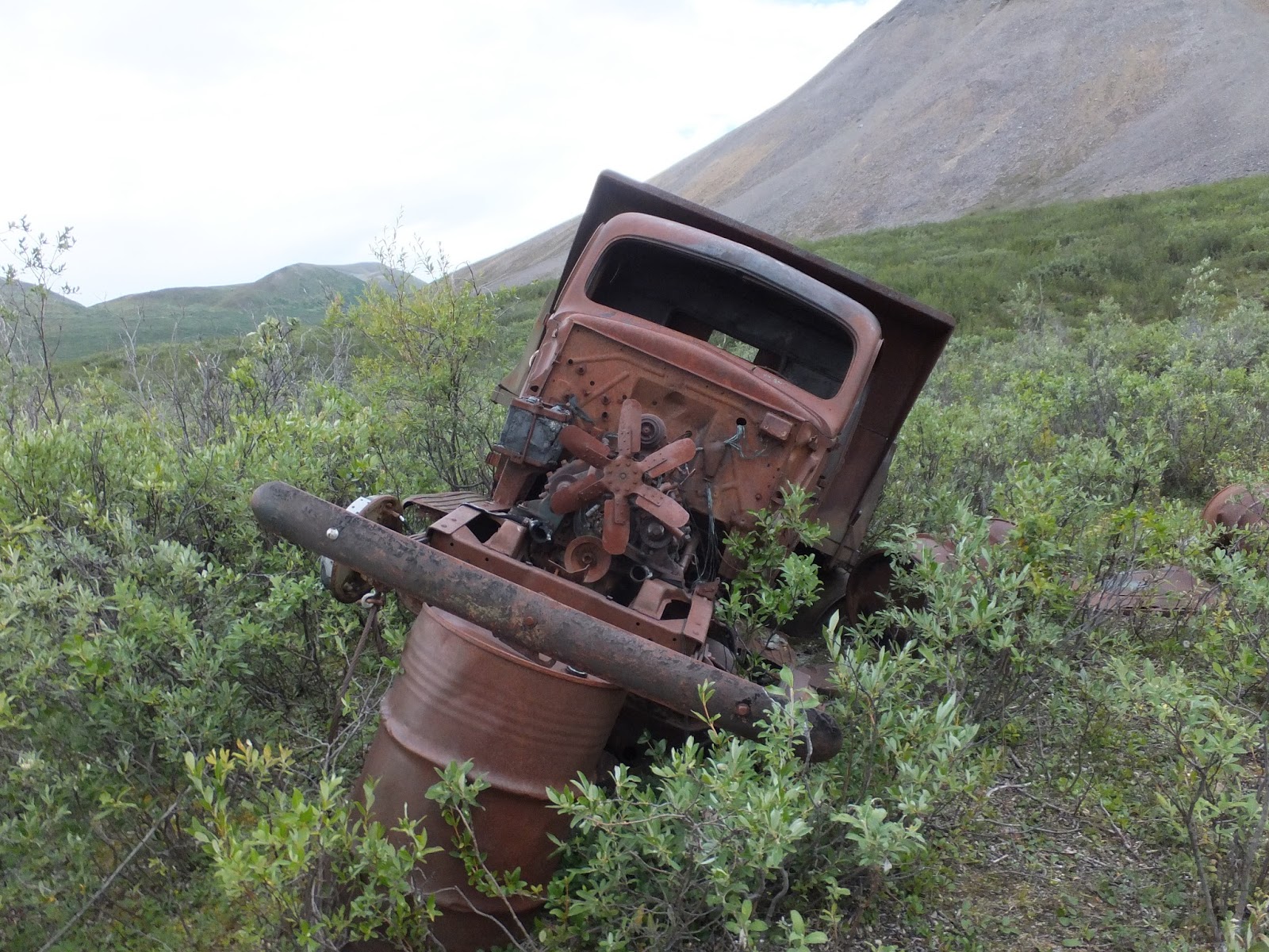
This is at the Bennett camp location.

Sunset on the river.

Changing tires.

Grayling.

Grayling for supper.

Bannock on the stove.


Heading to work one morning, it was almost 1000h before the fog had lifted.

Packed up and ready to leave, just having a cup of tea while waiting for the twin.

Our ride home.

A quick stop in Deliné for some fuel, then on to Yellowknife.
Cheers


