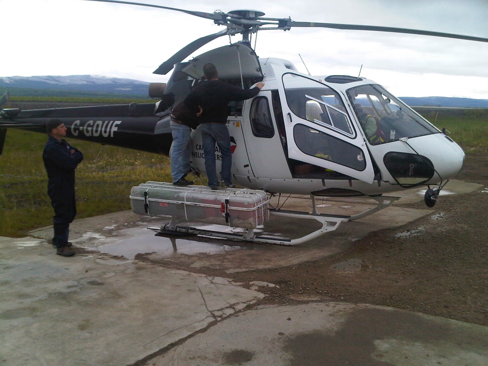
We finally made it into the mountains and on to the Canol
Trail.
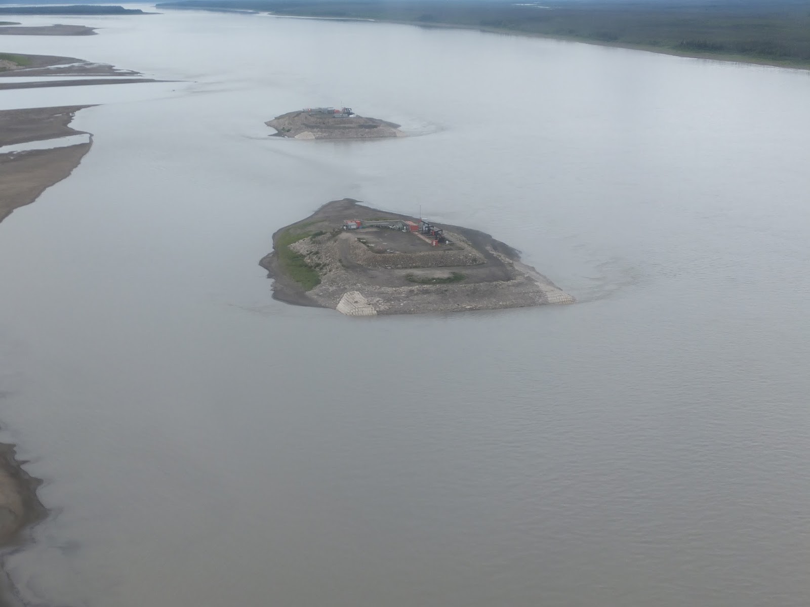
Crossing the
Mackenzie River.
The Dodo Canyon.
The Twitya River
meeting the Keele River.
Storm clouds over the
mountains.
We started our work at Mile 170, working in the rain. None
of the wells that we checked had water and the only well that we expected to
have water was destroyed by a bear.
Mile 170 in the rain,
Ekwi river in the background.
As the rain had
soaked all of us through to the skin and we needed fuel for the chopper we
headed to Ram’s Head (this is one of my favorite places) Stan, Debbie and
Bailey welcomed us to the hearth with hot coffee and fresh homemade cookies.
Ram’s Head Lodge.
Looking down (towards
the Norman Wells end) the valley.
Re-fueled, both us
and the chopper, we headed for Mile 142. We spent several house working here,
as all the wells produced water.
Mile 142, The Canol
Trail.
As we were lifting off there was a single mountain that
caught my attention, it was beautiful, so I decided to name it, Thomas Mountain and it is located
at N64o13’30”, W128o25’00” (might be off by a little as I
was locating it from the chopper).
Map showing the location of Thomas Mountain.
Thomas Mountain.
At 1600h we packed up and prepared to head to Mile 131 &
131.3, however as the sky had cleared and we could see the mountain tops we
decided to make a run for the far end of the trail and go for Mile 225.2.
At 1710h we arrived at Mile 225.2 (all wells dry),
Chopper on top of the
hill.
from there we worked our way back to Mile 224.6 (again all
wells dry),
Chopper in the
willows.
on to Mile 222.5 (this site we did manage to collect some
water samples),
Ranger station.
Canol Trail sign.
and then to Mile 208. No wells to sample here however we had
to check the buildings for drain pipes and conduct an assessment of the creek
bed. By this time we had gone over our flight plan (this means that we should
have been on the ground at the chopper hanger (208 miles away) as we had
reached the hour that was filed as the end of day).
The camp.
The kitchen (used by
hikers and hunters alike, for shelter).
The pump house.
The NWT sign on the
pump house.
Another hope to Mile 202 (it’s on our way home) no landing
required,
Mile 202.
just some air photos and notes then the hour and a half
flight to the base. Most of the flight back we were racing a storm front. All
said and done the samples were in the fridge and we had dinner 2300h.
This is my third trip to the Canol Trail and I don’t know
how many hours I have logged in the choppers flying through the mountains, but
what I can say is “wow” (said in a respectful whisper). There is no way for me
to convey the awesome beauty that I have seen, so all I’ll do is add some
photos.
Glacier on a mountain top.
Mt. Keele, in the Yukon.
The storm front we raced home to Norman Wells.
Cheers from the Astar BA, over the Land


